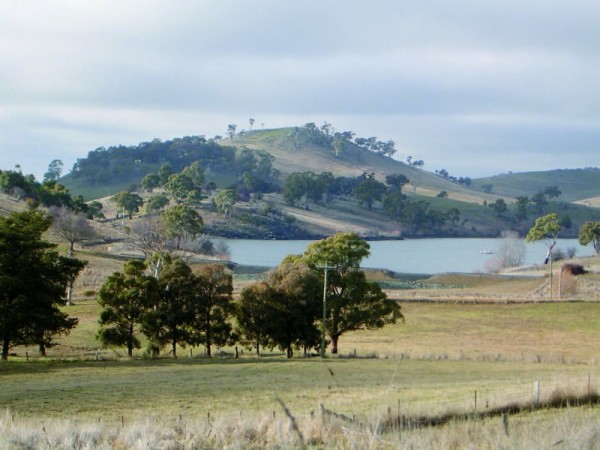
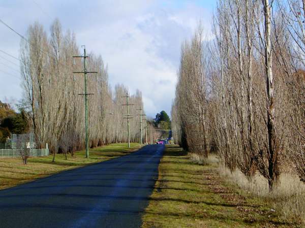
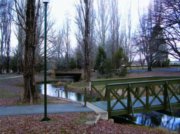
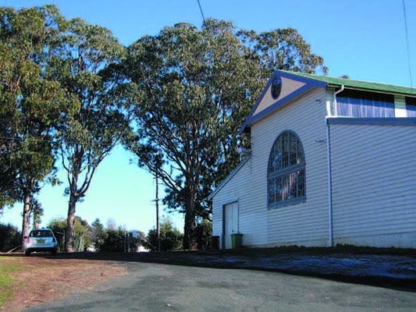
View to Mount Canobolas Location View from The Escort Way at the Local Government Area (LGA) boundary. Statement of Significance View from The Escort Way at the entry point to the City reveals an unimpeded view of Mount Canobolas to the South. The view is significant in that Mount Canobolas is an iconic landform that... Continue Reading →
Burrendong Way (March)
Large, mature Pine trees visually define the village of March within the landscape Location Burrendong Way (March, North of Orange) Statement of Significance The historic hamlet of March consists of a scattering of buildings along one side of Burrendong Way. A stone wall on the road frontage of 590 Burrendong Way signals the approach to... Continue Reading →
Significant Trees: Gosling Creek System
The broad canopy of Cedar (left), contrasts to the narrow upright form of the Giant Sequoia (right). Location Gosling Creek Reserve. Pinnacle Road (approximately 9 km west of Orange). Tree Species Giant Sequoia (Sequoiadendron giganteum) Cedar (Cedrus sp. ) Physical Description Trees are prominent as they are situated in a area of a majority of... Continue Reading →
Lake Canobolas
Lake Canobolas, looking toward the dam walls and showing the grassed foreshore areas Location Pinnacle Road (approximately 9 km West of Orange) Statement of Significance Lake Canobolas is a man-made body of water that was originally formed when Meadow Creek was dammed in 1918 to provide water for the expanding township of Orange. In the... Continue Reading →
Forest Road West
The now disused drive-in theatre, viewed from Forest Road Location: Western side of Forest Road (between Sharp Road and Cadia Road) Statement of Significance Along the Western side of Forest Road is a grouping of fairly disparate elements that together form a distinctive rural-urban fringe landscape. These are: the extensive native plantings of the TAFE Driveway;... Continue Reading →
Views of Native Vegetation
Location Native Vegetation - various locations, yet predominantly in the Eastern areas of the Local Government Area. Statement of Significance Patches of remnant Box vegetation occur sporadically throughout the Local Government Area (LGA) and are mostly contained to road reserves and isolated hillsides. Views of these remnants contribute to the way in which Orange is... Continue Reading →
Shadforth
Exotic species mark the village’s location within the rural landscape Location Mitchell Highway, a place within the Precinct of Frederick’s Valley. Statement of Significance Shadforth has historic significance as it was considered to be a contender as a location for the main town in the district. However, the limitations of its topography meant that the... Continue Reading →
View from Phoenix Mine Road
Location Phoenix Mine Road. Statement of Significance Phoenix Mine Road offers a sequence of changing views as it traverses up slope from Lucknow. The road meanders to accommodate the level change and this results in a range of views being available. The road rises from the floor of Frederick’s Valley near Lucknow and elevated views... Continue Reading →
Gateway Park
Location Mitchell Highway, approximately 3 km South East of the Orange CBD. Statement of Significance The linear planting pattern of the Lombardy Poplars at Gateway Park forms a distinctive landscape feature of the approach to Orange from Bathurst. The Poplars have been planted in a line, parallel to the road from which a sequence of... Continue Reading →
Orange Cemetery
An avenue planting of Eucalypts provides a backdrop for the grave sites in the foreground, with flowers adorning many of graves Location Lone Pine Avenue, Bowen. Statement of Significance Orange Cemetery was one of the early civic constructions at Orange. It was reserved and laid out in 1853 as a replacement for the cemetery at... Continue Reading →
Significant Trees: Suma Park Dam
Location Suma Park Dam. Tree Species Radiata Pine (Pinus radiata). Physical Description Mature stand of Pinus radiata with dense foliage and evidence of damage consisting of downed limbs and scarred trunks. Statement of Significance The pines form a distinctive feature within a landscape that is largely characterised by open land and stands of remnant native... Continue Reading →
Suma Park Dam
Location Suma Park Dam, approximately 4 km East of Orange. Statement of Significance Suma Park Dam was commissioned in 1962 and since then has become a significant water feature within the landscape to the East of Orange. The dam has significance as an example of 1960s engineering as well as historic significance as it was... Continue Reading →
Clifton Grove
Location North East of Orange, located East of Ophir Road and North of Summer Hill Creek. Statement of Significance Clifton Grove is a rural residential subdivision which receives its name from the original homestead. Clifton Grove is significant as one of the first planned rural residential estates in NSW. The subdivision plan was given approval... Continue Reading →
Significant Trees: Duntryleague
Location Entry Avenue, Northern border of Orange High School and Duntryleague. Tree Species Sequoia (Sequoiadendron spp.) Physical Description These particular trees exhibit a typical growth of cylindrical upright forms with dense branch structure. The trees have still not reached full mature height. Statement of Significance The Sequoia have a significance as an uncommon tree in... Continue Reading →
Duntryleague
Location Orange Golf Club, Woodward Street, Orange Statement of Significance Duntryleague was built in 1876 as a stately home for James Dalton, a member of the prominent Orange family, the Daltons. Duntryleague indicates the wealth of some of the Irish people who settled in Orange. Duntryleague, along with the Park, Gates, Gatekeeper’s Lodge and Stables,... Continue Reading →
Coronation Drive
Coronation Drive near its starting point at Woodward Street Location Coronation Drive (between Woodward Street and Cargo Road). Statement of Significance Coronation Drive is a commemorative drive characterised by avenue plantings in several different species. A plaque at the start of Coronation Drive near the intersection with Woodward Street indicates that Coronation Drive originally extended... Continue Reading →
Wiare Subdivision
The streetscape of Green Lane Location Bounded by Ploughman’s Lane, Wentworth Golf Club, and Kinross Wolaroi (PLC Site). (A place within the Garden Suburbs of West Orange.) Statement of Significance This area was subdivided under the name Wiare in the early 1970s and follows a similar garden suburb approach to Westlea. This area is characterised... Continue Reading →
Precinct: Garden Suburbs – West of Orange
Binnari Avenue, Westlea Location Area bounded by Forbes Road, Wirrabarra Walk, Wentworth Golf Club and Ploughman’s Lane. Statement of Significance The Garden Suburb was an influential approach to planning that shaped much of Australia’s suburban landscape. The two key subdivisions of this style in Orange were originally titled Westlea and Wiare which have now been absorbed... Continue Reading →
Significant Trees: Ploughman’s Lane
Location Ploughman’s Lane (between The Escort Way and Canobolas Road), West of Orange. Tree Species Lombardy Poplar (Populus nigra cv. ‘Italica’). Physical Description Tall narrow trunked tree with numerous branches starting from ground level. Some examples of wind damage to western facing trees. Statement of Significance The poplars have an aesthetic significance for the strong... Continue Reading →
Blackman’s Swamp Creek Park System
Location Matthews Park, Moulder Park, Endeavour Oval, Elephant Park, Pilcher Park and Ken Rawle Park (stretching from Lords Place to West of Woodward Street). Statement of Significance The series of interconnected parks forms a significant green belt and recreational space for the city. The parks are connected by Blackman’s Swamp Creek. The creek forms a... Continue Reading →
Sir Jack Brabham Park and Bloomfield Hospital
The boundary between Jack Brabham Park and Bloomfield Hospital is planted with Pinus radiata and Populus nigra var italica Location Forest Road (between Huntley Road and Bloomfield Road). Statement of Significance Located on the Southern edge of the city, the landscape of this precinct includes historically, aesthetically and socially significant places. The institutional landscape of... Continue Reading →
Glenroi
A typical Glenroi streetscape Location Area bounded by the Eastern side of the Railway Line; Bathurst Road; Lone Pine Avenue and extending to Catto Close in the South. Statement of Significance Orange City Council’s Development Control Plan (DCP) identifies the Glenroi area as having a concentration of housing from the Victorian and Edwardian periods as... Continue Reading →
Croagh Patrick
Location Park Street, Bowen. Statement of Significance Originally titled “Llanello”, the house and grounds of Croagh Patrick form an aesthetically and historically significant part of the townscape of Bowen. The house was built by Edwin Lane in 1883 to the design of John Hale, who also designed Wolaroi. By 1914 the house was in the... Continue Reading →
Orange Showground
Location Leeds Parade, approximately 2 km North East of the Orange CBD. Statement of Significance Located toward the North Eastern outskirts of town, the Showground has been an important site for the agricultural and social life of the town since it was developed in 1908. The entry gate is flanked by mature remnant Eucalypts, and... Continue Reading →
Significant Trees: Orange Botanic Gardens
Location Orange Botanic Gardens, The Apple Orchard - Kearney’s Drive, Bletchington. Tree Species Apple tree (Malus domestica) Crab apple (Malus spp.) Pear tree (Pyrus spp.) Physical Description Historic Crab apples and apples are being cultivated as per a ‘Orchard’ style planting. Branch structures have been pruned to allow for controlled growth and exhibit a strong... Continue Reading →
Place: Orange Botanic Gardens
Meandering paths form a picturesque walk around the central billabong leading through the “Federation Arch” Location Kearney’s Drive, Bletchington Statement of Significance The Orange Botanic Gardens is a comparatively new parkland of 20 hectares located within the Northern suburban edges of the city. The Botanic Gardens were officially opened during the Bicentenary year in 1988.... Continue Reading →
Place: Bletchington
Location Area bounded by Melville Street, Clergate Road, Phillip Street, Heatherbrae Parade and Anson Street. Statement of Significance This North East section of Bletchington was subdivided by the Bathurst Orange Development Corporation in the early 1980s as part of the regional growth centre strategy launched in 1975. The subdivision is characterised by early 1980s housing... Continue Reading →


